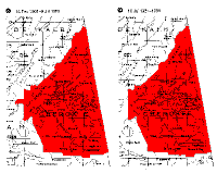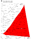
Cherokee County, Alabama Historical County Boundaries


These maps are from the ALABAMA volume of ATLAS OF HISTORICAL COUNTY BOUNDARIES, edited by John H. Long; compiled by Peggy Tuck Sinko. The series is a project of the Dr. William M. Scholl Center for Family and Community History, ©1996 by the Newberry Library. Permission from the publisher, Charles Scribner's Sons, New York, has been pending since August 2001. If they want this page removed I will do so.

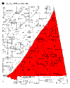
Jan. 1836
Jan. 1836 at creation
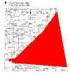
Dec. 1836
Changes 1836-43
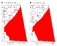
Jan. 1844

Changes 1844-58
Dec. 1866
Changes 1866-68
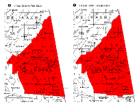
Mar. 1876
Changes 1876-84
Feb. 1901
Changes 1901-31
Click on a thumbnail (left click to view, right click to download) for a detailed map. Thumbnails are not to scale.
Download all six maps in PDF format as boundary.zip (328Kb)
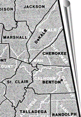
Boundary 1850

In black: Cherokee County boundary 1850 before the creation of Etowah, showing Benton.
From Thorndale and Dollarhide, "Map Guide to the United States Federal Censuses 1790-1920," p. 16. C. 1987. Geneaological Publishing Co., Baltimore

Cherokee County AlGenWeb Home