
|
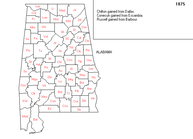
AniMap maps showing county formation, courtesy of Gold Bug and Art Lassagne.
A little square addition from Coosa was gained on the upper n.w. boundary in 1868. It was "balanced" by a similar small square addition from Tallapoosa on the upper n.e. boundary in 1870, forming the boundaries as they exist today. These may be best seen in the AL 1972 n.w. and n.e. maps, respectively, found on Elmore Co. ALGenWeb page "Maps".

|
| Back to Elmore maps | Elmore ALGenWeb | US Historical County Lines |